Point cloud
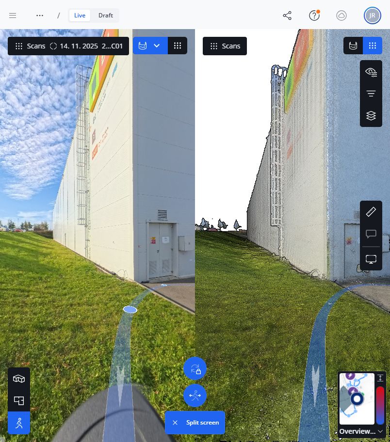
A dense set of spatial points captures the actual geometry at the time of survey. It supports dimensional checks and reality-based modelling.
Accurate source data Assess a project →
BIM 2027 · Scan-to-BIM · GeoSharp + R+V Services
We survey an existing asset using 3D laser scanning, process the point cloud and create a BIM model or open IFC data to an agreed scope. We then make the result accessible in WebCAD and connect it to RFM App for documentation, facility management, maintenance, inspections and change management.
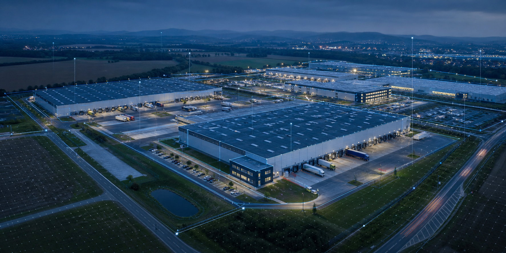
Physical asset · accurate geometry · usable data
What is actually changing
Czech Act No. 330/2025 Coll. introduces BIM-based management of building and built-environment information for defined public contracting authorities and projects. It is not a blanket obligation for every building. We help organisations prepare reliable data and connect it to real operations.
The exact obligations depend on the contracting authority, contract and project requirements, the applicable data standard and implementing rules.Data with the right name
Each layer answers a different need. Value comes from a controlled handover from the physical asset to the model, and from the model to the people who operate the building.
A dense set of spatial points captures the actual geometry at the time of survey. It supports dimensional checks and reality-based modelling.
Accurate source dataSelected architectural and technical elements are converted into a structured model with agreed geometry, information and classification.
Structured informationWebCAD and RFM App make space, documents, assets, inspections, tasks and history available to the roles that need them every day.
Decisions and accountabilityScan-to-BIM
We start by defining what the data must achieve. This determines accuracy, the scope of modelled elements, information content, handover formats and the connection to operations.
Define assets, users, decisions, deliverables, required accuracy and information needs.
GeoSharp performs laser scanning and the required geodetic checks while respecting site operations.
Register scans in a common coordinate system, clean the data and verify alignment.
Model the selected structures and equipment required by the brief—not unnecessary detail.
Check geometry, completeness and structure, then deliver in the agreed native or open format, such as IFC.
Connect data to WebCAD and RFM App, configure access and agree how future changes will be maintained.
An agreed data package
We configure the scope around the project’s investment, documentation or operational needs. Deliverables can be supplied separately or as a connected workflow.
One continuous data chain
Our added value does not end when the model is handed over. We bring data to technicians, facility teams, designers and owners so it does not remain locked inside specialist software.
3D laser scanning, surveying, registration and quality control of as-is spatial data.
Create trusted source dataClear browser-based access to geometry, drawings and documents without requiring a full desktop CAD environment.
Make space accessibleAssets, inspections, maintenance, defects, documents, deadlines and responsibility in one operational workflow.
Manage daily operationsWhere Scan-to-BIM creates value

Reliable information for reconstruction, as-built documentation, information management and long-term stewardship.

Orientation across complex sites, technical assets, planned change and consistent portfolio-wide data.
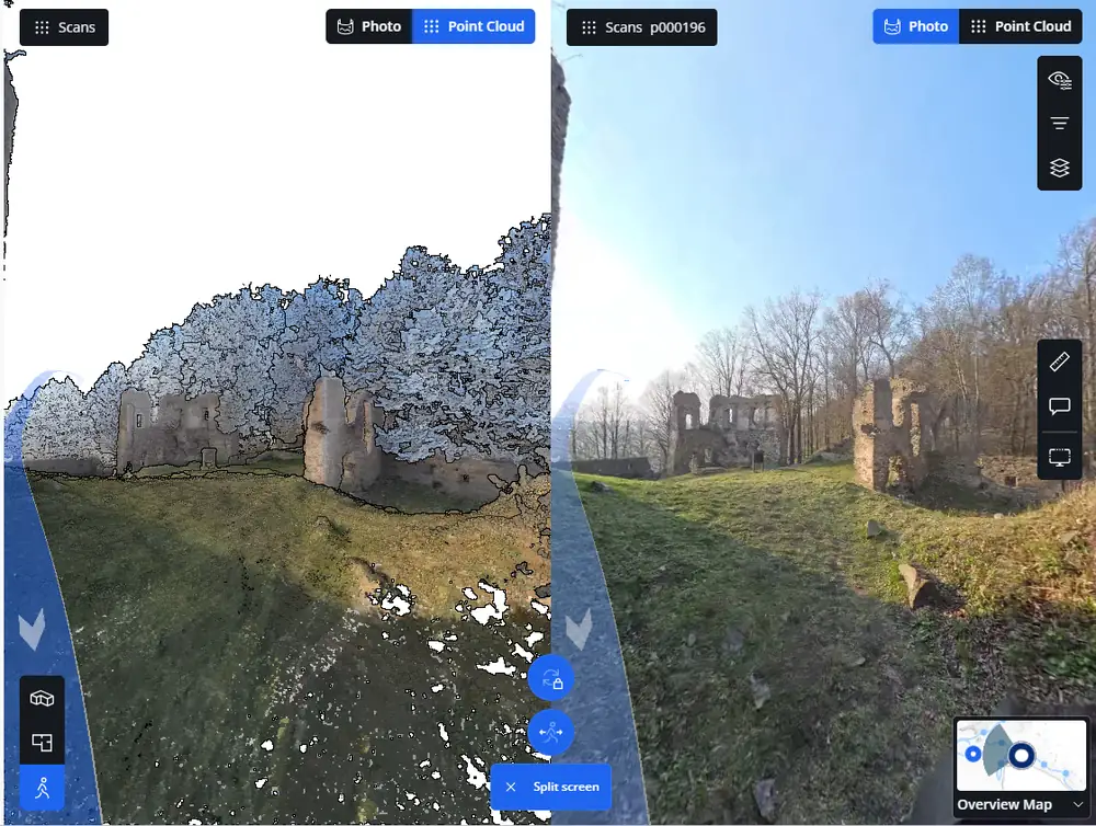
Contactless capture of irregular geometry for documentation, conservation and informed decisions.
What must be clear first
This determines what is modelled, who uses the data and which information creates operational value.
Geometric and information detail is set by purpose, not by a universal shorthand.
Agree formats, structure, handover, access rights and responsibility for updates before work begins.
Define checks and handover rules up front so the result is measurable.
FAQ
No. Czech Act No. 330/2025 Coll. applies to selected above-threshold public works contracts and defined public contracting authorities. Each project must be assessed individually.
No. A point cloud is an accurate record of geometry. BIM is created by modelling selected elements and adding structured information under agreed rules.
Yes. Scan-to-BIM uses 3D scanning and available records to create an as-is model of an existing building or site.
No, and doing so is often uneconomic. Scope, accuracy and information content should follow the model’s purpose and the client’s requirements.
Yes, when the right structure and links are defined from the outset. WebCAD and RFM App can make it usable for documents, assets, inspections, maintenance and tasks.
Start with purpose, not format
Send us the asset type, available documentation, required deliverables and intended use. We will propose a sensible scope for scanning, modelling and operational integration.
rainer@rvservices.cz → +420 703 123 807 An initial consultation will frame the scope, risks and inputs needed for a specific proposal.